Search Results
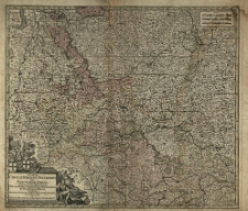
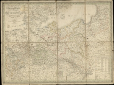
Sinopsis Circuli Rhenani Inferioris sive Electorum Rheni, exhibens Archi-Episcopatum Moguntinum, Coloniensem, Trevirensem et Palatinatum Rheni, Comitatus Beilstein, Nevenaer, Isenburg Infer. et reifferscheid [...] à Matth[eum] Seutter.
- Library catalog: Maps
- Creation date : [1700 ca]
- ID: M III 135
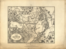
Osada Narvii v' 1704 godu.
- Library catalog: Maps
- Creation date : 1850 po]
- ID: M II 087
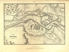
Bitva pod Narvoju 1700 goda.
- Library catalog: Maps
- Creation date : 1850 po]
- ID: M II 081
Napoli.
- Library catalog: Maps
- Creation date : 1910 ca]
- ID: M I 017
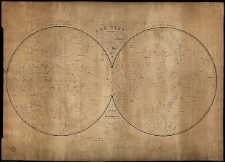
Ciel ou Exposition des aspects que presentent les principales Etoiles des Constellations Boreales et Australes par Ch. Dien.
- Library catalog: Maps
- Creation date : 1840
- ID: M IV 026
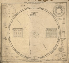
Das Planeten-System.
- Library catalog: Maps
- Creation date : [ca 1850].
- ID: M III 132
General-Karte von dem Preussschen Staate entworf. u. gez. von C. F. Weiland.
- Library catalog: Maps
- Creation date : 1826
- ID: M III 785
[Atlas wojny 1796 r.].

- Library catalog: Maps
- Creation date : 1828
- ID: A IV 045
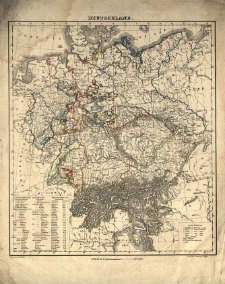
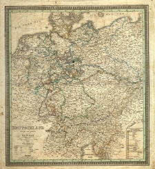
Deutschland /
- Library catalog: Maps
- Creation date : [ca 1850].
- ID: M III 141
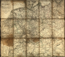
Neuste Post Karte von Deutschland und dessen angrenzenden Laender. /
- Library catalog: Maps
- Creation date : 1801
- ID: M III 606
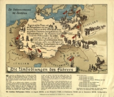
Umsiedlungen des Führers. Erik.
- Library catalog: Maps
- Creation date : 1940
- ID: M III 106
Charte von Teutschland. Entworf. von F. L. Güssefeld und nach dem Pressburger Frieden vom 26. Decbr. 1805 abgetheilt.
- Library catalog: Maps
- Creation date : 1806
- ID: M III 074
Detschland entworf. u. gez. von F. C. Weiland.
- Library catalog: Maps
- Creation date : 1839
- ID: M III 113
Karte von Südwest Deutschland enthaltend Bayern Würtemberg, Baden und Hohenzellern für den Elementar-Unterricht bearbeitet.
- Library catalog: Maps
- Creation date : 1830 ca]
- ID: M II 035
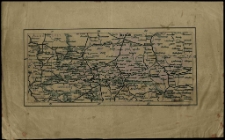
[Mapa komunikacyjna Niemiec Środkowych].
- Library catalog: Maps
- Creation date : [1850 ca]
- ID: M I 010
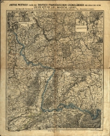
Justus Perthes' Karte der deutsch-französischen Grenzländer von Köln bis Bern und von Metz bis Ulm :
- Library catalog: Maps
- Creation date : 1870.
- ID: M III 105
Carte d'Egypte.
- Library catalog: Maps
- Creation date : 1900 ca]
- ID: M II 007
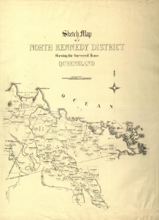
Sketch map of North Kennedy district shewing the surveyed runs Queensland.
- Library catalog: Maps
- Creation date : 1879
- ID: M III 148
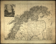
Det Nordlige Norge [...] samlet et ogaslagt af C. I. Pontoppidan. Stukket af Fridrich.
- Library catalog: Maps
- Creation date : 1795
- ID: M IV 041
Carte de la Nouvelle Caledonie. Grave par F. Dufour.
- Library catalog: Maps
- Creation date : 1878
- ID: M III 297

Viewed records 2361-2380 from 3325