Search Results
Tetrad' dlâ Geografičeskih' kart" /

- Library catalog: Maps
- Creation date : 1899-1900.
- ID: A II 227
Die Sudetenländer nach dem 20. November 1938.
- Library catalog: Maps
- Creation date : [ca 1938].
- ID: M IV 457
Das neue politische Gesicht Mitteleuropas.
- Library catalog: Maps
- Creation date : [ca 1938].
- ID: M IV 458
Vorderasien mit seinen Erdölgebieten.
- Library catalog: Maps
- Creation date : [1941].
- ID: M IV 459
Belgien.
- Library catalog: Maps
- Creation date : 1918.
- ID: M IV 460
Die Weltkarte mit dem Kolonialbesitz der großen Mächte.
- Library catalog: Maps
- Creation date : 1941.
- ID: M IV 461
Der Kriegsschauplatz Afrika :
- Library catalog: Maps
- Creation date : 1940.
- ID: M IV 462
Kriegskarte der Balkanhalbinsel
- Library catalog: Maps
- Creation date : [ca 1914].
- ID: M IV 463
Pais Vasco, Ven y Cuentalo. Mapa General de Carreteras /
- Library catalog: Maps
- Creation date : 1993.
- ID: M IV 464
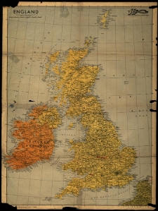
Englands Schüld.
- Library catalog: Maps
- Creation date : 1939]
- ID: M III 804
Die Post - die Zeitung für Jeden. Sonderheft
- Library catalog: Maps
- Creation date : [1941 po]
- ID: M III 805
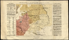
Carte ethnographique de la Russie et des contrees environnantes an IX-e siècle.
- Library catalog: Maps
- Creation date : 1819
- ID: M III 806
Fundacja Zakłady Kórnickie. Plan poglądowy majątków w powiecie śremskim.
- Library catalog: Maps
- Creation date : 1946 ca
- ID: M IV 375
Plan von der Grenze zwischen den adlichen Dominien Kurnik und Wiry Schrimmer Kreisses. Nach der vorhandenen Charte copirt im Januar 1834 durch Ziehlke.
- Library catalog: Maps
- Creation date : 1834
- ID: M III 809
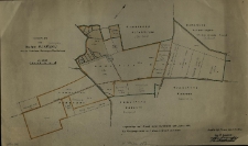
Lageplan des Gutes Elsenau Kreis Schrimm Reichsgau Wartheland.
- Library catalog: Maps
- Creation date : 1943
- ID: M II 309
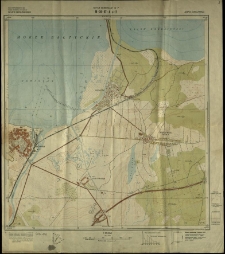
Theodosia or Kafa Crimea.
- Library catalog: Maps
- Creation date : 1855
- ID: A V 026
Sketch of the Encampment of the Ist. and 2nd. Division of British Troops under the Command of General Lord Raglan, G.C.B. also of the French. Turkish, and Egyptian Troops at Varna on the anniversary of Her Majesty's accession the 20th June, 1854 by Coll. Fredk. Wm. Hamilton, Grenadier Guards, 21st. June, 1854.
- Library catalog: Maps
- Creation date : 1855
- ID: A V 026
Plan and Section of the Lines of Perekop, from an old Published Plan (1736), Communicated by Mr. Derham.
- Library catalog: Maps
- Creation date : 1855
- ID: A V 026
Bay of Alushta, Crimea, from the Survey
- Library catalog: Maps
- Creation date : 1855
- ID: A V 026
Wojew. brzeźnieńskie.
- Library catalog: Maps
- Creation date : 1964
- ID: M III 813
Viewed records 2621-2640 from 3325