Search Results
[Ukraina Zachodnia].

- Library catalog: Maps
- Creation date : 1925 ca]
- ID: M IV 070
Karta uszyckiego powiatu.
- Library catalog: Maps
- Creation date : 1820
- ID: M III 024
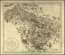
Karte von Ermeland oder zweites Blat von Westpreussen.
- Library catalog: Maps
- Creation date : 1789
- ID: M IV 075
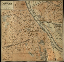
Plan Warszawy.
- Library catalog: Maps
- Creation date : 1958
- ID: A II 115
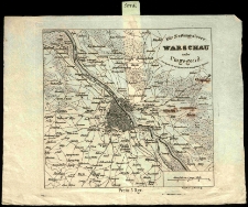
Für Zeitungsleser: Warschau nebst Umgegend mit Angabe der auf diesem Terrain vorgefallenen Gefechte. Gezeichnet v. Lekarczinsky.
- Library catalog: Maps
- Creation date : 1831]
- ID: M I 034
Für Zeitungsleser: Warschau nebst Umgegend mit Angabe der auf diesem Terrain vorgefallenen Gefechte. Gezeichnet v. Lek[arczinsky].
- Library catalog: Maps
- Creation date : 1831]
- ID: M I 072
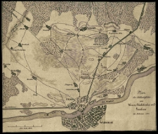
Plan der Schachtfelder von Wawer, Bialolenka und Grochow im Februar 1831.
- Library catalog: Maps
- Creation date : 1831]
- ID: M I 035
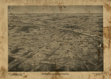
Reliefkarte von Warschau und Umgebung.
- Library catalog: Maps
- Creation date : [1920 ca]
- ID: M II 112
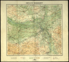
Okolice Warszawy.
- Library catalog: Maps
- Creation date : 1958
- ID: M III 679
Plan de Varsovie dedie à Stanislas Auguste roi de Pologne Grand Duc de Lithuanie. Par son très humble et très obeissant Serviteur Le Rouge Ingenieur Geographe de Sa Majeste très Chretiene.
- Library catalog: Maps
- Creation date : 1768
- ID: M III 219
[Warszawa].
- Library catalog: Maps
- Creation date : 1820
- ID: M III 210
Karte vom Herzogthum Warschau und den angrenzenden Staaten in 4 Sectionen [...] entworfen in Jahr 1810 von F. B. Engelhardt.
- Library catalog: Maps
- Creation date : 1812
- ID: M IV 235
Plan miasta stołecznego Warszawy kopiowany w r. 1826.
- Library catalog: Maps
- Creation date : 1826
- ID: M II 159
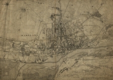
Warszawa w 1830 r.
- Library catalog: Maps
- Creation date : 1910].
- ID: M II 003
La ville les fortifications, les baricades de Varsovie et les trouppes polonaises le 19 aout 1831.
- Library catalog: Maps
- Creation date : 1831 po
- ID: M III 208
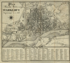
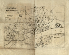
Plan miasta Warszawy poprawiony i dopełniony przez służbę inżynierską miasta.
- Library catalog: Maps
- Creation date : 1928
- ID: M IV 072
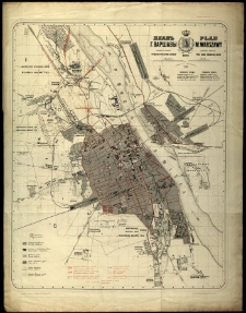
Plan ogólny miasta Warszawy i przedmieścia Pragi z oznaczeniem ulic, cyrkułów i znaczniejszych zabudowań.
- Library catalog: Maps
- Creation date : 1880
- ID: M II 169
Warszawa.
- Library catalog: Maps
- Creation date : 1930 ca]
- ID: M II 102
Plan dzielnic centralnych m[iasta] st[ołecznego] Warszawy.
- Library catalog: Maps
- Creation date : 1955
- ID: A II 097
Warszawa.
- Library catalog: Maps
- Creation date : 1970
- ID: M IV 245


Viewed records 2701-2720 from 3325