Search Results
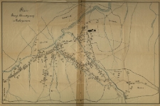
Plan stacyi klimatycznej w Zakopanem.
- Library catalog: Maps
- Creation date : ca 1900].
- ID: M III 301
Atlas Ziem Odzyskanych

- Library catalog: Maps
- Creation date : 1958
- ID: A III 087
Podręczna mapka powiatu żnińskiego wydana /
- Library catalog: Maps
- Creation date : [ca 1925].
- ID: M II 094
ZSRR (część europejska) /
- Library catalog: Maps
- Creation date : 1969
- ID: M IV 293
Atlas istorii SSSR. Dlja sredniej školy.
- Library catalog: Maps
- Creation date : 1949
- ID: A III 056
Plan von den Gaerten hinter dem See.
- Library catalog: Maps
- Creation date : 1842 ca]
- ID: M III 724
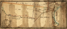
Plan situacyjny półwyspy Rakówca rozmierzonej w miesiącu lipcu 1847 r. przez F. H. Stabrowskiego.
- Library catalog: Maps
- Creation date : 1847
- ID: M III 726
Situations Plan des Verbindungs Weges der Staedte Kurnik und Bnin, so wie der neu projectirte Gang desselben.
- Library catalog: Maps
- Creation date : 1842 ca]
- ID: M II 288
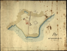
[Plan zamku, oficyn i oranżerii
- Library catalog: Maps
- Creation date : 1851
- ID: M II 289
Mapa pomiaru gruntów.
- Library catalog: Maps
- Creation date : 1858
- ID: M II 290
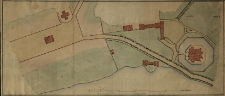
[Odrzucony plan (projekt ?) parku w Kórniku. Otoczenie zamku, sprawa przeprowadzenia szosy.]
- Library catalog: Maps
- Creation date : 19 w.
- ID: M IV 303
Atlas Deutsche Demokratische Republik.
- Library catalog: Maps
- Creation date : 1976-1982
- ID: A V 024
Plan Krakowa.
- Library catalog: Maps
- Creation date : 1972
- ID: M IV 243
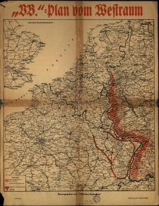
Plan vom Westraum.
- Library catalog: Maps
- Creation date : 1939-1945 ca]
- ID: M III 727
Mappa W. Księstwa Poznańskiego ułożona i wydana przez W[iktora] Kurnatowskiego w Poznaniu.
- Library catalog: Maps
- Creation date : [1843 ca]
- ID: M III 625
Ergänzungskarte Nr Kreis Lissa. Gemarkung Graetz. Nr 38. Katasterverwaltung. Der Kartenauszug geprüft [...] gefertigt [...] 12. 08. 09.
- Library catalog: Maps
- Creation date : 1909
- ID: M II 244
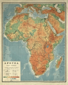
Afryka.
- Library catalog: Maps
- Creation date : 1958
- ID: M III 577
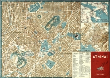
Athinai. Athens. Map. Plan.
- Library catalog: Maps
- Creation date : 1970 ca]
- ID: M III 591
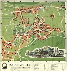
Badenweiler. Thermen im deutschen Süden.
- Library catalog: Maps
- Creation date : 1970 ca]
- ID: M III 588
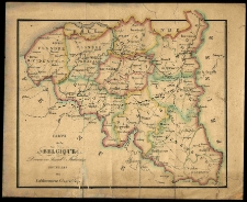
Carte de la Belgique Divisee en Arrond[issemants] Judiciaires.
- Library catalog: Maps
- Creation date : 1832
- ID: M I 094


Viewed records 2781-2800 from 3325