Search Results
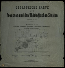
Geologische Karte von Preussen und den Thüringischen Staaten [...]. Hrsg. von der Königlich Preussischen Geologischen Landesanstalt u. Bergakademie.
- Library catalog: Maps
- Creation date : 1898
- ID: M IV 090
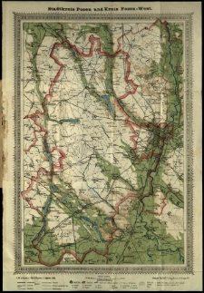
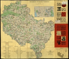
Neue Spezialkarte des Kreises Posen-West.
- Library catalog: Maps
- Creation date : 1909
- ID: M III 676
Ecriture des ecoles et des familles, par Clerget [...].
- Library catalog: Maps
- Creation date : [1850 ca]
- ID: M I 145
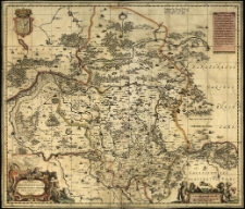
Palatinatus posnaniensis in Maiori Polonia primarii delineatio. Per G. F. M. [Georgius Freudenhamer Medicus].
- Library catalog: Maps
- Creation date : 1650 ca]
- ID: M III 187
Mapa zabytków województwa poznańskiego.
- Library catalog: Maps
- Creation date : 1971
- ID: M IV 290
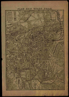
Plan der Stadt Prag.
- Library catalog: Maps
- Creation date : 1900 ca]
- ID: M I 055
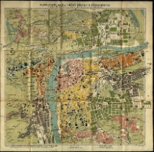
Nejnovějši plan kral. hlav. města Prahy s předměstimi (Smichov, Nusle, Vršovice, Kral. Vinohrady, Žižkov, Karlin, Bubeneč).
- Library catalog: Maps
- Creation date : [1914 przed]
- ID: M III 633
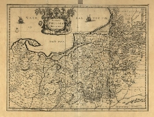
Accurata Prussiae descriptio. Per Gerardum Mercatorem.
- Library catalog: Maps
- Creation date : 1600 ca]
- ID: M III 076
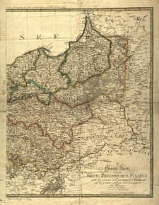
General Karte von den Koenig. Preussischen Staaten nach den neuesten und zuverlässigsten Hüllfsmitteln auf das genauste entworfen, und herausgegeben im Jahre 1799
- Library catalog: Maps
- Creation date : 1799
- ID: M III 290
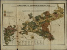
Wahlbezirke zum preusischen Abgeordneten-Hause. Zusammengestellt von Heinrich Kiepert.
- Library catalog: Maps
- Creation date : 1862
- ID: M III 668
Neueste Karte von Ostpreussen in 6 Blaettern.

- Library catalog: Maps
- Creation date : 1806
- ID: S 10
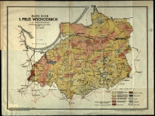
Mapa gleb b[yłych] Prus Wschodnich w oprac. Tadeusza Mieczyńskiego.
- Library catalog: Maps
- Creation date : 1946
- ID: M III 667
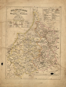
Ost-Preussen oder die Regierungs-Bezirke Konigsberg u. Gumbinnen, entworf. von F[riedrich] W[ilhelm] Streit. u. gez. von Karl Westhoff [...].
- Library catalog: Maps
- Creation date : [1837]
- ID: M II 074
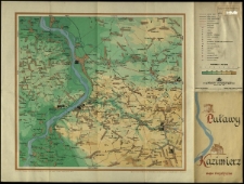
Puławy. Kazimierz. Mapa turystyczna.
- Library catalog: Maps
- Creation date : 1959
- ID: M III 638
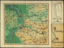
Puławy. Kazimierz. Mapa turystyczna.
- Library catalog: Maps
- Creation date : 1959
- ID: M III 637
Queensland. Compiled by T. S. Bailey and R. H. Lawson.
- Library catalog: Maps
- Creation date : [1875 ca]
- ID: M IV 056
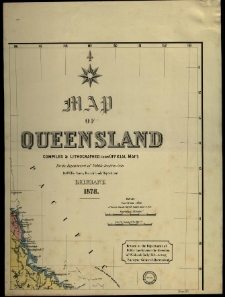
Map of Queensland compiled [...] by H. W. Fox.
- Library catalog: Maps
- Creation date : 1878
- ID: M IV 049
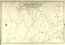
Sketch map of the south western portion of the colony of Queensland comprising the pastoral districts of Gregory North and South. Copmiled by R. H. Lawson.
- Library catalog: Maps
- Creation date : 1878
- ID: M III 149
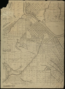
Rockhampton 20 chain map.
- Library catalog: Maps
- Creation date : 1875
- ID: M III 151
Insel Rügen.
- Library catalog: Maps
- Creation date : [1910 ca]
- ID: M I 031
Viewed records 2861-2880 from 3325