Search Results
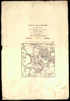
Riesen-Gebirge.
- Library catalog: Maps
- Creation date : [1910 ca]
- ID: M I 032
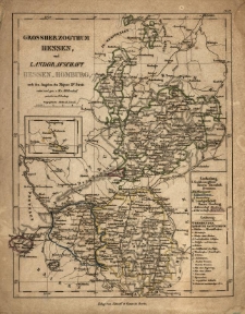
Grossherzogthum Hesen und Langrafschaft Hessen-Homburg nach den Angaben des [F. W.] Streit entw. u. gez. v. W. Möllendorf, gestoch. v. H. Herzberg.
- Library catalog: Maps
- Creation date : [1837]
- ID: M II 058
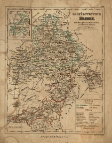
Kurfürstenthum Hessen nach den Angaben des /
- Library catalog: Maps
- Creation date : [1837].
- ID: M II 061
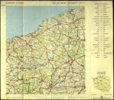
Województwo koszalińskie - mapa samochodowo-krajoznawcza.
- Library catalog: Maps
- Creation date : 1974
- ID: M III 692
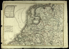
Carte des Sept Provinces unies des Pays-Bas connues sous le nom general de Hollande dressee par Herisson, Elève de M. Bonne [...].
- Library catalog: Maps
- Creation date : 1805
- ID: M IV 092
Karte des Königreichs der Niederlande und Hannover nebst Rheinpreussen Chur- u. Grossherzogth. Hessen, Braunschweig, Oldenburg, Nassau, Waldeck, Lippe Detmold u. Schauenburg, Hessen, Homburg etc. [...] nach der neusten Eintheilung bearbeitet [...].
- Library catalog: Maps
- Creation date : 1830 przed]
- ID: M II 039
Japonia i Korea.

- Library catalog: Maps
- Creation date : 1956
- ID: A III 084
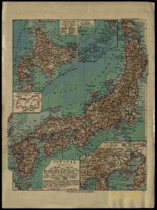
Japonia (Nippon).
- Library catalog: Maps
- Creation date : ca 1935].
- ID: M I 047
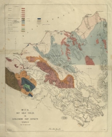
Map of the Den Gold Fields and Ilfracombe Iron Deposits. Tasmania. Charles Gould. W. C. Piguenit, del.
- Library catalog: Maps
- Creation date : 1880 ca]
- ID: M III 120
map of Hindostan or the Mogul Empire. Inscribed Joseph Banks [...]
- Library catalog: Maps
- Creation date : 1788
- ID: S 08
Indie i Pakistan.
- Library catalog: Maps
- Creation date : 1956
- ID: A III 084
Vue generale des principales routes et divisions de l'Indostan. 1784.
- Library catalog: Maps
- Creation date : 1784 ca]
- ID: M IV 081/1
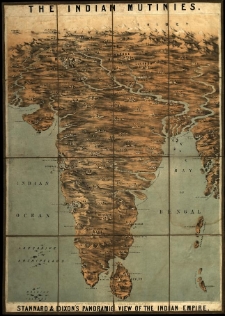
Indian mutinies. Stannard a. Dixon's panoramic view of the Indian Empire.
- Library catalog: Maps
- Creation date : 1857
- ID: M III 631
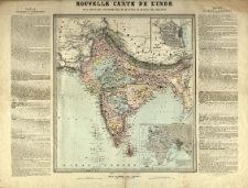
Nouvelle carte de l'Inde. Pour suivre les operations militaires dans les possessions anglaises.
- Library catalog: Maps
- Creation date : [1857 ca]
- ID: M III 006
Indonezja.
- Library catalog: Maps
- Creation date : 1956
- ID: A III 084
Ocean Indyjski.
- Library catalog: Maps
- Creation date : 1957
- ID: A III 084
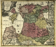
Livoniae et Curlandiae Ducatus cum insulis adjacentib. mappa geographica exhibiti per Tob. Conr. Lotter. Abraham Drentwet lunior del.
- Library catalog: Maps
- Creation date : 1750 ca
- ID: M III 044
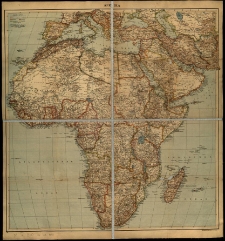
Afrika- Karte. Tornisterschrift des Oberkommandos der Wermacht. Abt. Inland
- Library catalog: Maps
- Creation date : 1940-1941
- ID: M IV 340
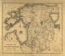
Topographische Charte von Liw-Laett u. Estland zu Anfang des 13-ten Jahrhunderts. Aus den Annalen Heinrich des Laetten verfertigt im Jahre 1828.
- Library catalog: Maps
- Creation date : 1828
- ID: M III 126
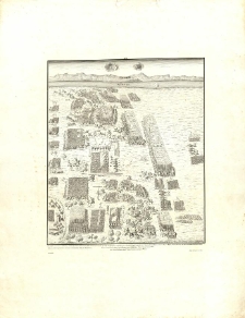
[Notice sur les plans des sièges et batailles de la campagne en Livonie en 1601 et 1602, qui assura à la Republique la conquête de cette province, fait par Jean Zamojski Grand Chancellier et Grand Général de Pologne sous le roi Sigismond III sur les Suédois].
- Library catalog: Maps
- Creation date : [1861].
- ID: M III 328
Viewed records 3241-3260 from 3325