Search Results
Atlas szkolny do dziejów średniowiecza. /
- Library catalog: Maps
- Creation date : 1928
- ID: A III 146
Sydow-Wagners methodischer Schul-Atlas /
- Library catalog: Maps
- Creation date : 1943
- ID: A III 148
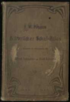
F. W. Putzgers Historischer Schul-Atlas zur alten, mittleren und neuen Geschichte in 66 Haupt- und 63 Nebenkarten. /
- Library catalog: Maps
- Creation date : 1895
- ID: A III 150
Karten und Skizzen zum Weltkrieg 1914/17

- Library catalog: Maps
- Creation date : 1916
- ID: A III 155
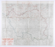
Carte etnographique et politique des territoires de l'ancien Grand Duche de Lithuanie avec tableau statistique.
- Library catalog: Maps
- Creation date : 1921
- ID: A III 168
Polski Atlas Kongresowy.
- Library catalog: Maps
- Creation date : 1921
- ID: A III 189
F. W. Putzgers Historischer Schul-Atlas zur alten, mittleren und neuen Geschichte. In 238 Hampt- und Nebenkarten. Bearbeitet und herausgeben von Alfred Baldamus und Ernst Schwabe.
- Library catalog: Maps
- Creation date : 1906
- ID: A III 204
Andrees allgemeiner Handatlas in 91 Haupt und 86 Nebenkarten, nebst vollständigem alphabetischem Namenverzeichnis. /
- Library catalog: Maps
- Creation date : 1893
- ID: A III 210
Neuester Provinz-Atlas von Preussen.
- Library catalog: Maps
- Creation date : 1838
- ID: A III 211
Die amtlichen Karten zum Friedensvertrage. Sonderausgabe.
- Library catalog: Maps
- Creation date : 1920
- ID: A III 213
F. W. Putzgers Historischer Schul-Atlas zur alten, mittleren und neuen Geschichte.
- Library catalog: Maps
- Creation date : 1910
- ID: A III 214
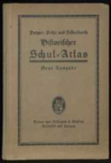
F. W. Putzgers Historischer Schul-Atlas. /
- Library catalog: Maps
- Creation date : 1930
- ID: A III 219
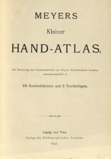
Meyers kleiner Hand-Atlas :
- Library catalog: Maps
- Creation date : 1893
- ID: A III 220
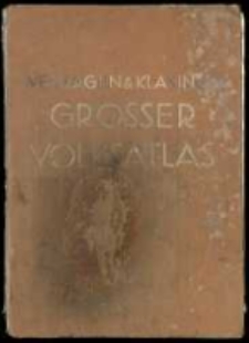
Grosser Volks-Atlas :
- Library catalog: Maps
- Creation date : 1936
- ID: A III 223
Livre-atlas de geographie :
- Library catalog: Maps
- Creation date : 1911 ca
- ID: A III 231
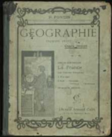
Geographie :
- Library catalog: Maps
- Creation date : 1916 ca
- ID: A III 232
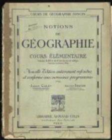
Notions de geographie :
- Library catalog: Maps
- Creation date : 1928
- ID: A III 233
Atlas von Liefland oder von den beyden Gouvernementern u. Herzogthümern Lief- und Ehstland und der Provinz Oesel :
- Library catalog: Maps
- Creation date : 1798 [rz.]
- ID: A IV 001
Nouvel atlas de la Chine, de la Tartarie Chinoise, et du Thibet: contenant les cartes generales et particulieres de ces pays, ainsi que la carte du royaume de Coree :
- Library catalog: Maps
- Creation date : 1737 [rz.]
- ID: A IV 002
Neuer Handatlas über alle Theile der Erde /
- Library catalog: Maps
- Creation date : 1865
- ID: A IV 004


Viewed records 761-780 from 3325