Search Results
[Polska] /
- Library catalog: Maps
- Creation date : [1919 ca]
- ID: M III 269
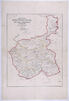
Mapa bitew i potyczek 1863-1864 w Królestwie Kongresowym z datami starć /
- Library catalog: Maps
- Creation date : [1900 ca]
- ID: M III 272
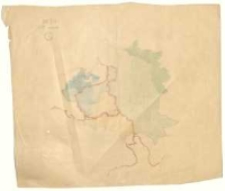
[Mapa okolic Wielenia].
- Library catalog: Maps
- Creation date : 1919 ca]
- ID: M III 273
[Mapa rozbiorów Polski].
- Library catalog: Maps
- Creation date : 1916
- ID: M III 274
[Mapa rozbiorów Polski].
- Library catalog: Maps
- Creation date : 1916
- ID: M III 275
Kreis Lissa, Gemarkung Chmielnikowo, Gutsbezirk Swierczyn. Handzeichnung von den in der Grundsteuermutterrolle auf Artikel Nr. 3, im Grundbuch unter "Rittergut Swierczyn" eingetragenen Liegenschaften des von Heydebrand und der Lasa, Heinrich, Rittergutsbesitzer auf Schloss Storchnest /
- Library catalog: Maps
- Creation date : 1902
- ID: M III 568
Kreis Lissa, Gemarkung Swierczyn, Gutsbezirk Swierczyn. Handzeichnung von einem Theile der in der Grundsteuermutterrolle auf Artikel Nr. 1 und 5, im Grundbuch unter "Rittergut Swierczyn" eingetragenen Liegenschaften des von Heydebrand und der Lasa, Heinrich, Rittergutsbesitzer auf Schloss Storchnest /
- Library catalog: Maps
- Creation date : 1902
- ID: M III 569
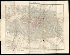
Neuster Plan von Berlin /
- Library catalog: Maps
- Creation date : 1858.
- ID: A I 100
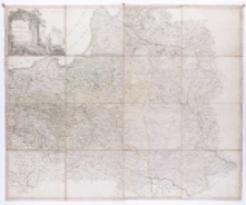
Karte von Polen und den angränzenden Provinzen in 16 Blättern /
- Library catalog: Maps
- Author: Sotzmann, Daniel Friedrich geograf, rytownik ; (1754-1840)
- Creation date : 1793
- ID: A III 005
Australien /
- Library catalog: Maps
- Creation date : 1850 ca]
- ID: M III 140
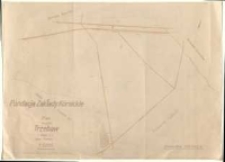
Plan sytuacyjny Łysej [...].

- Library catalog: Maps
- Creation date : 1880 ca]
- ID: M III 464
Fundacja Zakłady Kórnickie. Plan majątku Trzebaw (część 2) powiat Poznań. Sporządzono w r. 1946 na podstawie zrektyfikowanej mapy katastralnej /
- Library catalog: Maps
- Creation date : 1946
- ID: M III 447/2
Mapa 1 Kopja z mapy katastralnej Obrębu Mieczewo-las [...] /
- Library catalog: Maps
- Creation date : 1927
- ID: M III 501/1
Plan zabudowań Szkół Gospodarczych Fundacji Zakłady Kórnickie w Kuźnicach /
- Library catalog: Maps
- Creation date : 1946
- ID: M IV 152
Mapa 3 Kopja z mapy katastralnej Obrębu Mieczewo-las [...] /
- Library catalog: Maps
- Creation date : 1927
- ID: M III 501/2
Kopja z mapy katastralnej obrębu Prowent Bnin. Mapa 2 [...] /
- Library catalog: Maps
- Creation date : 1927
- ID: M III 487/2
Kopja z mapy katastralnej obrębu Prowent Bnin. Mapa 1 [...] /
- Library catalog: Maps
- Creation date : 1927
- ID: M III 487/1
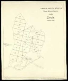
Fundacja "Zakłady Kórnickie". Mapa drzewostanowa rewiru Zwola /
- Library catalog: Maps
- Creation date : [1926 ca]
- ID: M II 193
Mapa województwa koszalińskiego /
- Library catalog: Maps
- Creation date : 1963.
- ID: M III 884
Mapa województwa krakowskiego /
- Library catalog: Maps
- Creation date : 1963.
- ID: M III 885


Viewed records 881-900 from 3325