Search Results
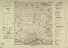
Mapa do pracy p.t.: Rozwój morfologiczny progu Pogórza Karpackiego międz Dębicą a Trzcianką.
- Library catalog: Maps
- Creation date : [1968 ca]
- ID: M III 524
Chart of the White Sea Constructed from the Surveys, Made by Order of the Russian Government under the Direction of Captain Lieutenant Reinecke Revised with Additions and Improvements.

- Library catalog: Maps
- Creation date : 1863
- ID: M IV 311
Werstern Portion of the Mediterranean Sea Compiled from the Most Recent Surveys.
- Library catalog: Maps
- Creation date : 1864
- ID: M IV 312
Gulf of Bothnia Compiled from the Latest Surveys by J. S. Hobbs.
- Library catalog: Maps
- Creation date : 1863
- ID: M IV 313
Chart of the Coast of France from Brehat Island to Brest with Enlarged Plans of the Principal Harbours and Roadssteads Drown from the Late French Surveys by J. S. Hobbs.
- Library catalog: Maps
- Creation date : 1863
- ID: M IV 315
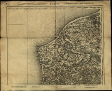
East Coast of England from Dungeness to Newcastle in four sheets Drawn from the Late French Surveys by J. S. Hobbs.
- Library catalog: Maps
- Creation date : 1864
- ID: M IV 316
Black Sea, etc. Chiefly from the Russian Surveys Compiled by J. S. Hobbs.
- Library catalog: Maps
- Creation date : 1863
- ID: M IV 317
Atlas d'Histoire Universelle.
- Library catalog: Maps
- Creation date : 1966 cop.
- ID: A III 182
Atlas d'Histoire.
- Library catalog: Maps
- Creation date : 1966 cop.
- ID: A III 183
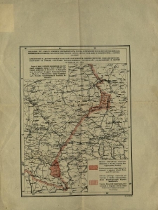
Załącznik do "Umowy pomiędzy Rzecząpospolitą a Związkiem Socjalistycznych Republik Radzieckich o zamianie odcinków terytoriów państwowych", zawartej w Moskwie dnia 15 lutego 1951 roku.
- Library catalog: Maps
- Creation date : 1951
- ID: M III 801
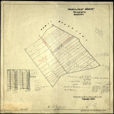
Fundacja "Zakłady Kórnickie". Rola przy rewirze Błażejewo.
- Library catalog: Maps
- Creation date : [1936 ca]
- ID: M III 808
Atlas przemian politycznych świata w XX wieku.
- Library catalog: Maps
- Creation date : 1970
- ID: A I 149
Frankreich.
- Library catalog: Maps
- Creation date : 1918 ca]
- ID: M III 735
Atlas województwa katowickiego.
- Library catalog: Maps
- Creation date : 1971
- ID: A III 173
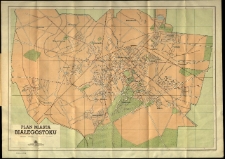
Plan miasta Białegostoku.
- Library catalog: Maps
- Creation date : 1957
- ID: M III 614
Atlas de l'Histoire du Consulat et de l'Empire.
- Library catalog: Maps
- Creation date : 1860
- ID: A IV 078
Europa.
- Library catalog: Maps
- Creation date : 1958
- ID: A III 084
Polska. Mapa administracyjna.
- Library catalog: Maps
- Creation date : 1969
- ID: S 27
Europa.
- Library catalog: Maps
- Creation date : 1958
- ID: A III 084
Europa.
- Library catalog: Maps
- Creation date : 1958
- ID: A III 084
Viewed records 1041-1060 from 3325