Search Results
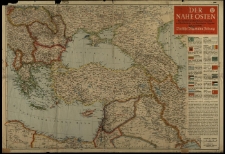
Der Nahe Osten. Mit politisch-geschichtlichem Überblick und Sonderkarten von Jugoslawien, Ägypten und Nordafrika.
- Library catalog: Maps
- Creation date : 1941
- ID: M III 803
Le domaine de Versailles.

- Library catalog: Maps
- Creation date : 2006]
- ID: M I 158
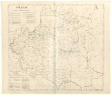
Pologne et ses pays limitrophes /
- Library catalog: Maps
- Creation date : [1919 ca]
- ID: M III 248
Plan zabudowań Szkół Gospodarczych Fundacji Zakłady Kórnickie w Kuźnicach /
- Library catalog: Maps
- Creation date : 1946
- ID: M IV 151
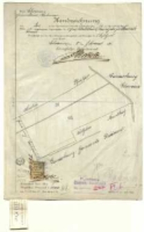
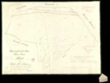
Kreis Schrimm, Gemeinde - bezirk Hohensee. Handzeichnung von der in der Grundsteuermutterrolle auf Artikel Nr. 13, im Grundbuche Band Blatt 26 Konarski eingetragen Liegenschaften de Graf Wladislaw Zamoyski zu Kurnik /
- Library catalog: Maps
- Creation date : 1896
- ID: M I 121
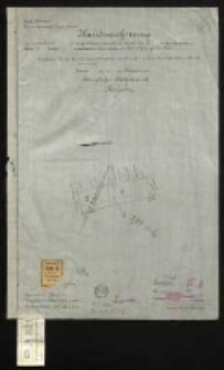
Kreis Schroda, Gemeinde - bezirk Trzebieslawki. Handzeichnung von einem Teil der in der Grundsteuermutterrolle auf Artikel Nr. 9, im Grundbuche Band Blatt 12 Artikel eingetragen Liegenschaften der Schubert Julie geb. Zier Wittwe /
- Library catalog: Maps
- Creation date : 1901
- ID: M I 122
Kreis Schroda, Gemeinde - bezirk Trzebieslawki. Handzeichnung von einem Teil der in der Grundsteuermutterrolle auf Artikel Nr. 9, im Grundbuche Band Blatt 11 Artikel eingetragen Liegenschaften der Schubert Julie geb. Zier Wittwe /
- Library catalog: Maps
- Creation date : 1901
- ID: M I 123
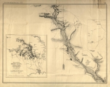
Mapa jaskiń okolicy Ojcowa, z okazaniem ich związku z jaskiniami pasa północnego okręgu krakowskiego /
- Library catalog: Maps
- Creation date : [1885].
- ID: M III 278
Regierungsbezirk Posen. Kreis Posen. Karte von dem Gute Trzebaw Blatt 2 /
- Library catalog: Maps
- Creation date : 1865
- ID: M IV 128/2
[Kopja z mapy katastralnej od części obrębu Kórnik mapa 1 i 2 powiat Śrem. Mapa 1 /
- Library catalog: Maps
- Creation date : [1926]
- ID: M I 126/1
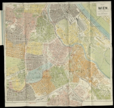
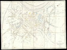
Plan von Wien /
- Library catalog: Maps
- Creation date : [1900 ca]
- ID: A I 090
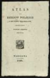
Atlas do dziejów polskich z dwunastu krajobrazów złożony /
- Library catalog: Maps
- Creation date : 1829
- ID: A II 084
Atlas do dziejów polskich z dwunastu krajobrazów złożony /
- Library catalog: Maps
- Creation date : 1829
- ID: A I 053
Atlas do Historyi i Geografii starożytney podług planu Joachima Lelewela członka wielu towarzystw uczonych polecny do użycia Szkołom i Instytutom naukow: przez Komissyę Rzadową Oświeceina Publicz. /
- Library catalog: Maps
- Creation date : 1828
- ID: A II 056
Dwanaście krajobrazów do Dziejów Polski potocznym sposobem opowiedzianych /
- Library catalog: Maps
- Creation date : 1859
- ID: A I 054
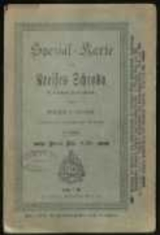
Spezial-Karte des Kreises Schroda in 5 fachem Farbendruck /
- Library catalog: Maps
- Creation date : [1900 ca]
- ID: A I 075
Karte eines Theils von Neu oder West Gallicien welcher die Woywodschaften Sendomier und Krakau enthält nebst einem Theil von Alt Gallicien in XII Blatt /
- Library catalog: Maps
- Creation date : 1797
- ID: A III 007
Grundriss der Haupt-u Residenz- Stadt Dresden nebst den Vorstädten /
- Library catalog: Maps
- Creation date : 1837
- ID: A I 056/1
Curioses Staats und Kriegs Theatrum in Polen, durch unterschiedliche Geographische, Topographische und Historische Land-Carten, Grundrisse und Prospect, Erläutert /
- Library catalog: Maps
- Creation date : [ca 1730].
- ID: A I 001/1
Atlas statystyczny Polski i kraiow okolicznych /
- Library catalog: Maps
- Creation date : [1827]
- ID: A IV 032


Viewed records 1301-1320 from 3325