Search Results
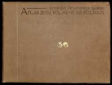
Atlas ziem polskich /
- Library catalog: Maps
- Author: Słupski, Zygmunt Światopełk księgarz, literat ; (1852-1928)
- Creation date : [1911 ca]
- ID: A II 027
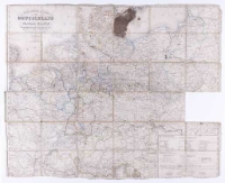
Post- [und] Reise-Karte von Deutschland und den Nachbar Staaten bis Kopenhagen, Dover, Paris, Lyon, Turin, Ferrara, Ofen, Debrecin, Lublin, Grodno, Tauroggen :
- Library catalog: Maps
- Creation date : [1860 ca]
- ID: A I 189
Atlas konturowy /
- Library catalog: Maps
- Author: Sawicki, Ludomir geograf ; (1884-1928)
- Creation date : 1924
- ID: A II 037/1
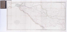
To her most gracious majesty Queen Victoria, and the Allied Armies of France and England this Military topographical map of the Krima Peninsula =
- Library catalog: Maps
- Creation date : 1854
- ID: A II 049
Bentley's plane terrestrial globe /
- Library catalog: Maps
- Creation date : [1839 ca]
- ID: A II 055
Map of Circassia and the russian territories north of the Kuban newly constructed from the latest Russian Authorities, based upon astronomical observations /
- Library catalog: Maps
- Creation date : 1855
- ID: A II 068
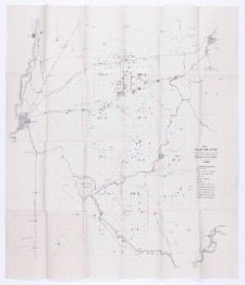
Maps and colored section referred to in the report of state geologist of Indiana, 1869 /
- Library catalog: Maps
- Creation date : 1869
- ID: A II 072
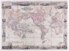
Colton's New Illustrated Map of the World on Mercator's Projection :
- Library catalog: Maps
- Creation date : 1853
- ID: A II 086
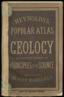
Pictorial and descriptive atlas of geology :
- Library catalog: Maps
- Creation date : [1900 ca]
- ID: A II 094
Elementary school atlas of general and descriptive geography /
- Library catalog: Maps
- Creation date : 1875
- ID: A II 095
A geographical and astronomical atlas, containing ancient and modern maps with a solar system and two hemispheres prefaced by new problems, on maps and a copious table latitudes and longitudes
- Library catalog: Maps
- Creation date : 1822
- ID: A II 102
Results of Rain Observations Made in New South Wales during 1878 /

- Library catalog: Maps
- Creation date : 1879
- ID: A II 127
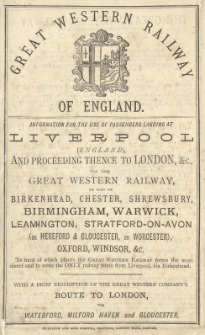
Great Western Railway of England :
- Library catalog: Maps
- Creation date : [1900 ca]
- ID: A II 128
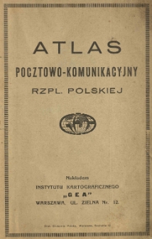
Atlas pocztowo-komunikacyjny Rzpl. Polskiej /
- Library catalog: Maps
- Creation date : 1920 ca
- ID: A II 183
Mapa Królestwa Polskiego z oznaczeniem miast, osad, wsi, komór, kolei, dróg bitych, traktów pocztowych i rzek; dla użytku rolnictwa, handlu, przemysłu i turyzmu /
- Library catalog: Maps
- Creation date : 1914 ante
- ID: A II 199
Karta dawnej Polski z przyległemi okolicami krajów sąsiednich według nowszych materyałów na 1:300 000 /
- Library catalog: Maps
- Creation date : 1859
- ID: A III 001
Italia divisa in provincie :
- Library catalog: Maps
- Creation date : 1902
- ID: A III 032
Mapy Słowaczyńskiego /
- Library catalog: Maps
- Creation date : [1844 ca]
- ID: A III 045/1
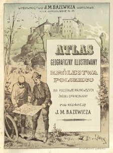
Atlas geograficzny ilustrowany Królestwa Polskiego na podstawie najnowszych źródeł opracowany /
- Library catalog: Maps
- Creation date : 1907
- ID: A III 057
Kontury do map gieograficznych :
- Library catalog: Maps
- Creation date : 1907
- ID: A III 070


Viewed records 1361-1380 from 3325