Search Results
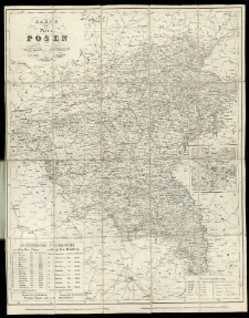
Karte der Provinz Posen /
- Library catalog: Maps
- Creation date : [1890 ca]
- ID: A I 099
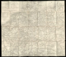
Neuste Post-Karte durch ganz Deutschland, Helvetien, Ober Italien, Ostreich, Ungarn, Pohlen, Preussen, Dänemark, Holland und Frankreich bis Paris /
- Library catalog: Maps
- Creation date : 1826
- ID: A I 109
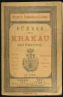
Führer durch die königliche Hauptstadt Krakau und Umgebung :
- Library catalog: Maps
- Creation date : 1889
- ID: A I 113
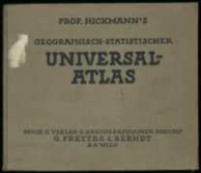
Prof. Hickamann's Geographisch-Statistischer Universal-Atlas :
- Library catalog: Maps
- Creation date : 1927
- ID: A I 188
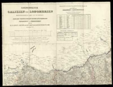
Koenigreich Galizien und Lodomerien /
- Library catalog: Maps
- Creation date : 1824
- ID: A II 002
Atlas geographicus :
- Library catalog: Maps
- Creation date : [1700 ca]
- ID: A II 004
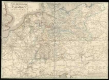
Post-Reise-Karte von Deutschland und den angränzenden Staaten :
- Library catalog: Maps
- Creation date : 1828
- ID: A II 018
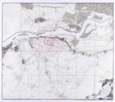
Plan der Belagerung von Warschau vom 26-ten July bis 6-ten September 1794.
- Library catalog: Maps
- Creation date : 1850 ante]
- ID: A II 024
Eisenbahn-Atlas von Deutschland, Belgien, Elsass und dem nördlichsten Theile von Italien in 16 Specialkarten auf 13 Blättern, nebst einer Uebersichtskarte :
- Library catalog: Maps
- Creation date : 1853
- ID: A II 032
Generalkarte von Polen, Litauen und den angraenzenden Laendern /
- Library catalog: Maps
- Creation date : 1788
- ID: A II 064
General-Reise-Karte von der Schweiz und Tyrol mit Vorarlberg und einem beträchtlichen Theile der angränzenden Länder, besonders von Ober-Italien :
- Library catalog: Maps
- Creation date : [1850 ca]
- ID: A II 081
Atlas von den Königlisch Preussischen Staaten in XX Blätern [...] /
- Library catalog: Maps
- Creation date : 1793
- ID: A II 100
Hansa Weltatlas 75 Haupt- und Nebenkarten, 88 Abbildungen, Textteil und Alphabetisches Ortsregister /
- Library catalog: Maps
- Creation date : 1943
- ID: A II 129
Karte der Thätigkeit der Ansiedlungs=kommission für die Provinzen Westpreussen und Posen :
- Library catalog: Maps
- Creation date : 1899
- ID: A III 094
Kriegs-Atlas :

- Library catalog: Maps
- Creation date : 1915 cop.
- ID: A III 095
Handatlas Karte und Bild /
- Library catalog: Maps
- Creation date : [1910 ca]
- ID: A III 170
Hand-Atlas der alten Geschichte und Geographie für den Schul- und Privatgebrauch in zehn illuminirten Karten /
- Library catalog: Maps
- Creation date : 1843
- ID: A IV 033
Atlas der Erd- und Staatenkunde nach den Bedürfnissen der Zeit und dem jetzigen Standpunkte der Wissenschaft /
- Library catalog: Maps
- Creation date : 1844
- ID: A IV 036
Atlas des Königreichs Preussen in siebenundzwanzig Blaettern /
- Library catalog: Maps
- Creation date : 1831
- ID: A IV 072
Geschichtlich-geographische Entwickelung des Zuwachses und der Abnahme des Polonischen Reiches vom Jahre 992 bis zum Jahre 1831, dargestellt in fünf Karten mit einem Texte, eine kurze Uebersicht der Polonischen Geschichte enthaltend /
- Library catalog: Maps
- Creation date : 1831
- ID: A IV 073


Viewed records 1401-1420 from 3325