Search Results
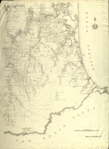
Moreton 2 mile map. Compiled by T. S. Bailey and R. H. Lawson.
- Library catalog: Maps
- Creation date : 1870-1877
- ID: M III 150
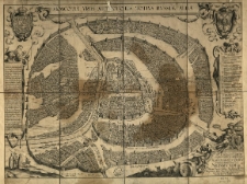
Moscovia urbs metropolis totius Russiae Albae. Imen Ig. A. cael. L[ucas] Kilian, A[ugsburg].
- Library catalog: Maps
- Creation date : 1610
- ID: M III 276
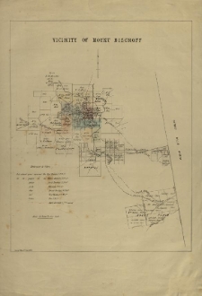
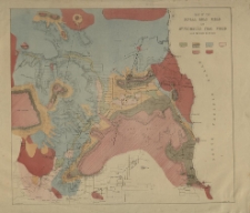
Vicinity of Mount Bischoff.
- Library catalog: Maps
- Creation date : 1879
- ID: M III 117
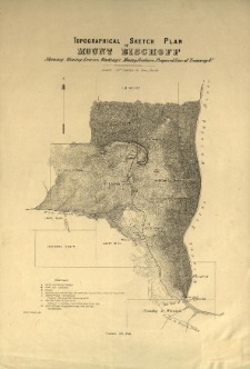
Topographical Sketch Plan of Mount Bischoff Showing Mining Leases. Workings. Mining Features. Proposed Line of Tramway [and] C.
- Library catalog: Maps
- Creation date : [1890 ca]
- ID: M III 118
Map of the fingal gold field and Mount Nicholas coal field. [Tasmania] W. C. Piguenit del.
- Library catalog: Maps
- Creation date : 1880 ca]
- ID: M III 119
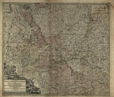
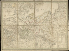
Sinopsis Circuli Rhenani Inferioris sive Electorum Rheni, exhibens Archi-Episcopatum Moguntinum, Coloniensem, Trevirensem et Palatinatum Rheni, Comitatus Beilstein, Nevenaer, Isenburg Infer. et reifferscheid [...] à Matth[eum] Seutter.
- Library catalog: Maps
- Creation date : [1700 ca]
- ID: M III 135
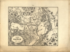
Osada Narvii v' 1704 godu.
- Library catalog: Maps
- Creation date : 1850 po]
- ID: M II 087
Bitva pod Narvoju 1700 goda.
- Library catalog: Maps
- Creation date : 1850 po]
- ID: M II 081
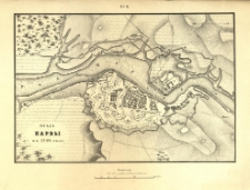
Napoli.
- Library catalog: Maps
- Creation date : 1910 ca]
- ID: M I 017
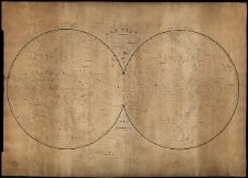
Ciel ou Exposition des aspects que presentent les principales Etoiles des Constellations Boreales et Australes par Ch. Dien.
- Library catalog: Maps
- Creation date : 1840
- ID: M IV 026
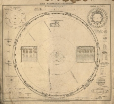
Das Planeten-System.
- Library catalog: Maps
- Creation date : [ca 1850].
- ID: M III 132
General-Karte von dem Preussschen Staate entworf. u. gez. von C. F. Weiland.
- Library catalog: Maps
- Creation date : 1826
- ID: M III 785
[Atlas wojny 1796 r.].

- Library catalog: Maps
- Creation date : 1828
- ID: A IV 045
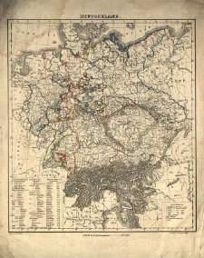
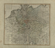
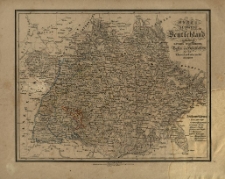
Deutschland /
- Library catalog: Maps
- Creation date : [ca 1850].
- ID: M III 141
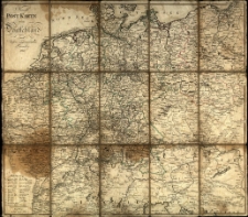
Neuste Post Karte von Deutschland und dessen angrenzenden Laender. /
- Library catalog: Maps
- Creation date : 1801
- ID: M III 606
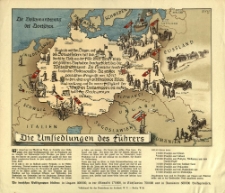
Umsiedlungen des Führers. Erik.
- Library catalog: Maps
- Creation date : 1940
- ID: M III 106
Charte von Teutschland. Entworf. von F. L. Güssefeld und nach dem Pressburger Frieden vom 26. Decbr. 1805 abgetheilt.
- Library catalog: Maps
- Creation date : 1806
- ID: M III 074
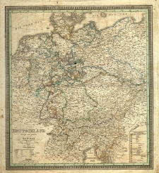
Detschland entworf. u. gez. von F. C. Weiland.
- Library catalog: Maps
- Creation date : 1839
- ID: M III 113
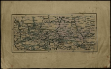
Karte von Südwest Deutschland enthaltend Bayern Würtemberg, Baden und Hohenzellern für den Elementar-Unterricht bearbeitet.
- Library catalog: Maps
- Creation date : 1830 ca]
- ID: M II 035
[Mapa komunikacyjna Niemiec Środkowych].
- Library catalog: Maps
- Creation date : [1850 ca]
- ID: M I 010

Viewed records 1541-1560 from 3325