Search Results
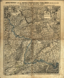
Justus Perthes' Karte der deutsch-französischen Grenzländer von Köln bis Bern und von Metz bis Ulm :
- Library catalog: Maps
- Creation date : 1870.
- ID: M III 105
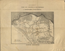
Carte d'Egypte.
- Library catalog: Maps
- Creation date : 1900 ca]
- ID: M II 007
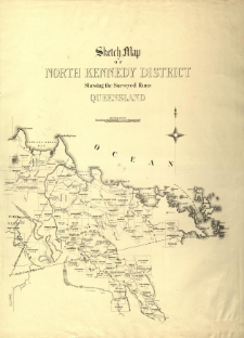
Sketch map of North Kennedy district shewing the surveyed runs Queensland.
- Library catalog: Maps
- Creation date : 1879
- ID: M III 148
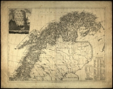
Det Nordlige Norge [...] samlet et ogaslagt af C. I. Pontoppidan. Stukket af Fridrich.
- Library catalog: Maps
- Creation date : 1795
- ID: M IV 041
Carte de la Nouvelle Caledonie. Grave par F. Dufour.

- Library catalog: Maps
- Creation date : 1878
- ID: M III 297
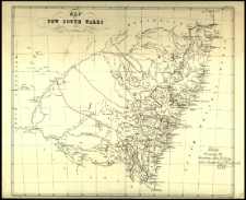
Map of New South Wales. Compiled by J. A. C. Wilis.
- Library catalog: Maps
- Creation date : 1877
- ID: M IV 047
New South Wales.
- Library catalog: Maps
- Creation date : [1890 ca]
- ID: M IV 050
Carte de la Nouvelle Galle du Sud Australie. Iniquant les localites des principaux mineraux. Compiled by J. Tayler. Revised and corrected to date by C.S. Wilkinson.
- Library catalog: Maps
- Creation date : 1876
- ID: S 09
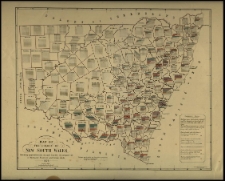
Map of New South Wales.
- Library catalog: Maps
- Creation date : 1878
- ID: M IV 088
New South Wales. Compiled by J. Tayler.
- Library catalog: Maps
- Creation date : [1900 ca]
- ID: M IV 044
Map of the colony of New South Wales [...].
- Library catalog: Maps
- Creation date : 1879
- ID: M IV 052
[Nymphenburg].
- Library catalog: Maps
- Creation date : 1910 ca]
- ID: M I 156
Kreis Adelnau.
- Library catalog: Maps
- Creation date : 1913
- ID: M II 097
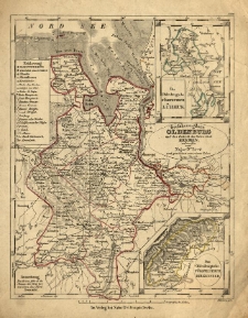
Grossherzogthum Oldenburg und das Gebieth der freien Stadt Bremen; entworf. vom [F. W.] Streit u. gez. von [...] Arno Streit. H. Herzberg gest.
- Library catalog: Maps
- Creation date : [1837]
- ID: M II 062
Okolice Olsztyna. Mapa turystyczna.
- Library catalog: Maps
- Creation date : 1969
- ID: M IV 296
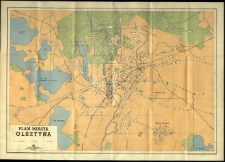
Plan miasta Olsztyna.
- Library catalog: Maps
- Creation date : 1957
- ID: M III 617
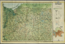
Mapa województwa Olsztyńskiego. Redaktorzy: Danuta Piekarz, Teresa Zakrzewska.
- Library catalog: Maps
- Creation date : 1970
- ID: M III 696
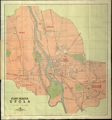
Plan miasta Opola.
- Library catalog: Maps
- Creation date : 1957
- ID: M IV 277
Kreis Schildberg.
- Library catalog: Maps
- Creation date : 1909
- ID: M II 096
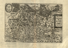
Ducatus Oswieczensis et Zatoriensis desriptio. 1592. Sta. Por. [Stanisław Porębski] pinxit. Ma. Qu. sculpsit.
- Library catalog: Maps
- Creation date : 1592
- ID: M II 125


Viewed records 1561-1580 from 3325