Search Results
- Go to the collection
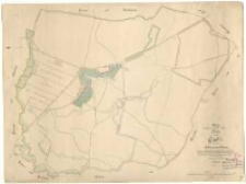
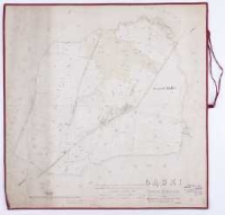
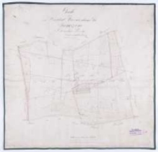
Kopie der Karte mit folgendem Titel: Karte von Gądki im Schrimmer Kreise /
- Library catalog: Kartografia
- Data wydania: 1882
- Sygnatura: M III 403
- Go to the collection
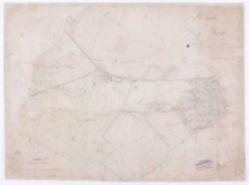
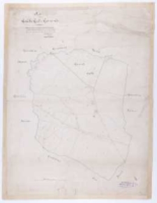
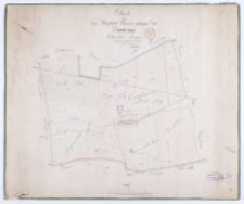
Brouillon Karte von dem im Szrimschen Kreise belegenen adelichen Guthe Gądki /
- Library catalog: Kartografia
- Data wydania: 1821
- Sygnatura: M III 404
- Go to the collection
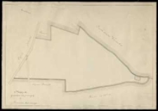
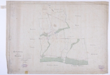
Karte von Dorfe Gądki im Schrimmer Kreise belegen /
- Library catalog: Kartografia
- Data wydania: 1833
- Sygnatura: M III 444
- Go to the collection
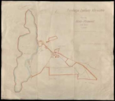
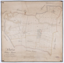
Fundacja Zakłady Kórnickie Plan maj[ątku] Bnin - Prowent pow[iat] Śrem. Sporządzono w roku 1946 na podstawie mapy katastralnej /
- Library catalog: Kartografia
- Data wydania: 1946
- Sygnatura: M III 446
- Go to the collection
Karte von dem im Schrodaer Kraise Posener Departements /
- Library catalog: Kartografia
- Data wydania: 1820 ca]
- Sygnatura: M III 604
- Go to the collection
Mappa gruntów kupionych od p. Franciszka Moderskiego.
- Library catalog: Kartografia
- Data wydania: 19 w.
- Sygnatura: M III 725
- Go to the collection
Situationsplan des zum Korniker Walde gehörigen Czolower Forstreviers /
- Library catalog: Kartografia
- Data wydania: 1801
- Sygnatura: M IV 108
- Go to the collection
Charte von Dębiec Schrimer Kreises /
- Library catalog: Kartografia
- Data wydania: 1860
- Sygnatura: M IV 109
- Go to the collection
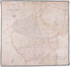
Karte von Bagrowo Kreis Schroda angefertiget 1840 /
- Library catalog: Kartografia
- Data wydania: 1840
- Sygnatura: M IV 110
- Go to the collection
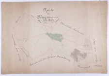
Karte von Bieganowo, Kreis Schroda /
- Library catalog: Kartografia
- Data wydania: 1858
- Sygnatura: M IV 111
- Go to the collection
Gądki Kreis Schrimm 1868 /
- Library catalog: Kartografia
- Data wydania: 1868
- Sygnatura: M IV 114
- Go to the collection
Ka[rte] von Gądki Gut u. Gemeinde /
- Library catalog: Kartografia
- Data wydania: 1882
- Sygnatura: M IV 115
- Go to the collection
[Plan projektu parku nad jeziorem Góreckim.]
- Library catalog: Kartografia
- Data wydania: 1850 ca]
- Sygnatura: M IV 117
- Go to the collection
Regierungsbezirk Posen. Kreis Posen, Karte von dem Gute Górka /
- Library catalog: Kartografia
- Data wydania: 1865
- Sygnatura: M IV 118
- Go to the collection
Charte von dem zur Herrschaft Kurnik gehoerigen Gute Januszewo Schrodaer Kreisses /
- Library catalog: Kartografia
- Data wydania: 1825
- Sygnatura: M IV 119
- Go to the collection
Charte von dem zur Herrschaft Kurnik gehoerigen Gute Januszewo Schrodaer Kreisses /
- Library catalog: Kartografia
- Data wydania: 1827
- Sygnatura: M IV 120

Brouillon plan von dem zur kornikschen Herrschaft gehörigen Forstrevier Drapalki /
- Library catalog: Kartografia
- Data wydania: 1801
- Sygnatura: M IV 142
- Go to the collection
Handzeichnung vom Rittergute Jarosławiec /
- Library catalog: Kartografia
- Data wydania: 1889
- Sygnatura: M IV 166
- Go to the collection
Babin, Podgaj i Bojnice w powiecie Sredzkim /
- Library catalog: Kartografia
- Data wydania: 1876
- Sygnatura: M IV 222
- Go to the collection
Zakłady Kórnickie. Fundacja Narodowa Władysława, Jadwigi z Działyńskich i Marii Zamoyskich /
- Library catalog: Kartografia
- Data wydania: [1925 ca]
- Sygnatura: S 23


Viewed records 21-40 from 113