Search Results
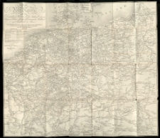
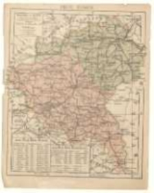
Post- und Eisenbahn-Reisekarte von Central-Europa nach F. Handtke's Post- u. Reisekarte reducirt /

- Library catalog: Kartografia
- Data wydania: 1863
- Sygnatura: A I 110
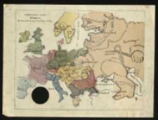
System of Geography for the Use of Schools :
- Library catalog: Kartografia
- Data wydania: 1852
- Sygnatura: A III 096
[Atlas classique publie]. /
- Library catalog: Kartografia
- Data wydania: 1873 ca]
- Sygnatura: A II 110
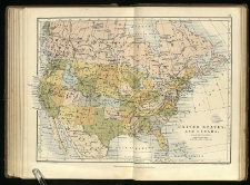
Elementary school atlas of general and descriptive geography /
- Library catalog: Kartografia
- Data wydania: 1875
- Sygnatura: A II 095
Neuste Post-Karte durch ganz Deutschland, Helvetien, Ober Italien, Ostreich, Ungarn, Pohlen, Preussen, Dänemark, Holland und Frankreich bis Paris /
- Library catalog: Kartografia
- Data wydania: 1826
- Sygnatura: A I 109
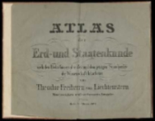
Atlas der Erd- und Staatenkunde nach den Bedürfnissen der Zeit und dem jetzigen Standpunkte der Wissenschaft /
- Library catalog: Kartografia
- Data wydania: 1844
- Sygnatura: A IV 036
Najnowsza mapa Europy :
- Library catalog: Kartografia
- Data wydania: 1915 ca]
- Sygnatura: M I 064
[Różne fragmenty map] /
- Library catalog: Kartografia
- Data wydania: 1821
- Sygnatura: M III 329
The college atlas, for schools and families; 36 maps, printed in colours with a complete index /
- Library catalog: Kartografia
- Data wydania: [1875 ca]
- Sygnatura: A III 076
Displaying 9 records