Search Results
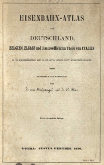
Eisenbahn-Atlas von Deutschland, Belgien, Elsass und dem nördlichsten Theile von Italien in 15 Specialkarten auf 12 Blättern, nebst einer Uebersichtskarte :
- Library catalog: Kartografia
- Data wydania: 1850
- Sygnatura: A II 031
[Atlas classique publie]. /
- Library catalog: Kartografia
- Data wydania: 1873 ca]
- Sygnatura: A II 110
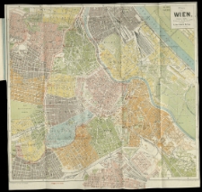
Plan von Wien /
- Library catalog: Kartografia
- Data wydania: [1900 ca]
- Sygnatura: A I 090
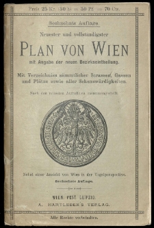
Plan von Wien mit angabe der neuen Bezirkseintheilung /
- Library catalog: Kartografia
- Data wydania: [1900 ca]
- Sygnatura: A I 059
Grundriss der Kais: König: Haupt- und Rezidenzstadt Wien samt ihren Vorstädten =
- Library catalog: Kartografia
- Data wydania: 1821
- Sygnatura: A I 061
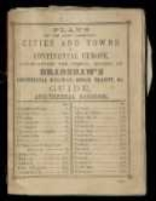
Plans of the Most Important Cities and Towns of Continental Europe, Accompanying the Special Edition of Brandshaw's Continental Railway, Steam Transit, and c. :
- Library catalog: Kartografia
- Data wydania: 1894]
- Sygnatura: A I 115
Eisenbahn-Atlas von Deutschland, Belgien, Elsass und dem nördlichsten Theile von Italien in 16 Specialkarten auf 13 Blättern, nebst einer Uebersichtskarte :
- Library catalog: Kartografia
- Data wydania: 1853
- Sygnatura: A II 032


Displaying 7 records